Accuracy That Eliminates Rework
Skyline delivers 99.9% accurate data for every mission. Eliminate guesswork, reduce costly mistakes, and move forward with confidence on every project.
Data When You Need It
We capture and process real-time data fast so you can make decisions on the ground without delay. Faster insights = faster execution.
Cut Costs, Not Corners
Drones replace slow, expensive methods cutting labor, reducing delays, and speeding up your timeline. Skyline gives you more value with less overhead.
Keep Your Crews Out of Harm’s Way
Our drones capture high-precision data from a safe distance no need to put boots on the ground in risky or hard-to-reach areas.
Tailored Mapping for Your Mission
Every site is different. We design drone missions around your goals custom flight paths, data outputs, and reporting that fit your exact needs.
Instantly Compatible with Your Systems
Skyline’s deliverables plug directly into your GIS, CAD, or project management tools providing data you can use right away with zero friction.
Skyline Drone delivers precision-driven aerial data for industries where time, accuracy, and execution matter. From construction to infrastructure, our drone technology transforms how you gather, analyze, and act on information. We replace outdated methods with real-time insights helping you reduce costs, eliminate rework, and accelerate decision-making.
When you work with Skyline, you don’t just get a service you gain a strategic edge.
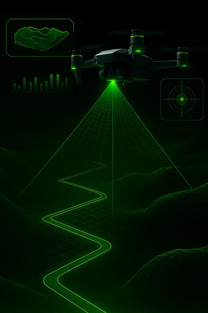
Every map and model we create is 99.9% accurate.
Using advanced drone sensors and ground control workflows, Skyline captures every detail with precision reducing errors, eliminating guesswork, and preventing costly rework.
Get real-time data. Make faster decisions.
Skyline’s drone mapping drastically reduces timelines so you can spot problems earlier, keep your projects moving, and stay on schedule without delay.
Our Process
Let’s Talk Project Goals
Tell us what you’re working on we’ll recommend the smartest drone mapping solution to hit your targets faster, with precision and zero guesswork.
01
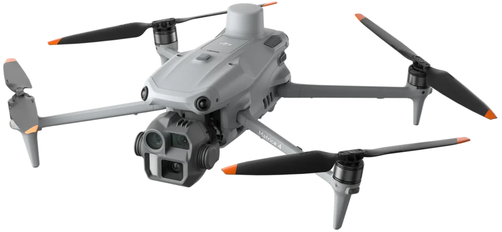
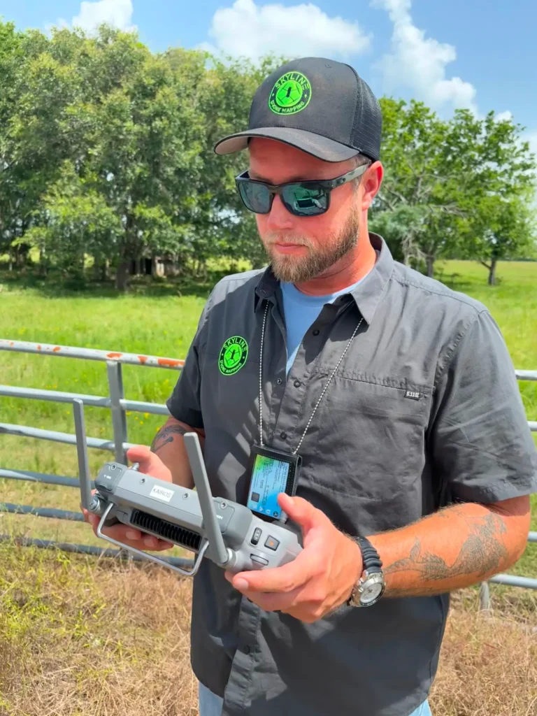
We Fly. You Focus.
Our drones capture ultra-accurate aerial data whether it's land, buildings, infrastructure, or terrain. We handle every detail so you don’t have to.
02
Actionable Data. Delivered Fast.
We turn aerial data into highly accurate maps and 3D models, optimized for your workflows and ready to plug into your decision-making tools.
03
Turn Data into Results
Use real-time, high-precision insights to make better calls, adjust plans on the fly, and move your project forward with confidence and speed.
04
OUR BENEFITS
Get enterprise-grade results in record time. No bottlenecks. No delays. Just rapid, high-precision aerial data exactly when you need it.
Up to 99.9% precision. Skyline’s tech and expert workflows ensure every detail is captured with accuracy that minimizes rework and maximizes trust.
Outperform traditional methods at a fraction of the cost. Save on labor, reduce downtime, and stretch your budget further without sacrificing quality.
Keep your team out of hazardous zones. Our drones collect the data remotely while ensuring compliance with industry safety standards.
Access live data as it's captured. Make confident decisions faster, keep your timelines intact, and move your project forward without hesitation.
Testimonials
Contact
© All Rights Reserved. Powered by Building Brands Marketing.