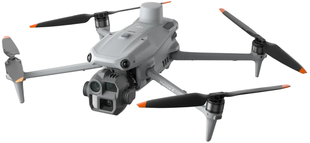
Military-grade accuracy. Lightning-fast turnaround. Actionable results.
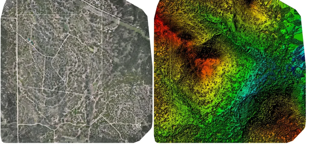
Ranching Industry
Skyline Drone Mapping equips ranchers and landowners with fast, data‑rich aerial intelligence.
Our drone mapping, 3‑D modeling, photography, videography, and inspection services replace slow ground surveys, giving you an instant, accurate view of every acre.
Gain a complete aerial perspective of your ranch to monitor terrain, assets, and boundaries with unmatched precision.
Create high-quality visual records to support land development, leasing agreements, or property sales.
Inspect fences, water tanks, and terrain changes quickly keeping operations smooth year-round.
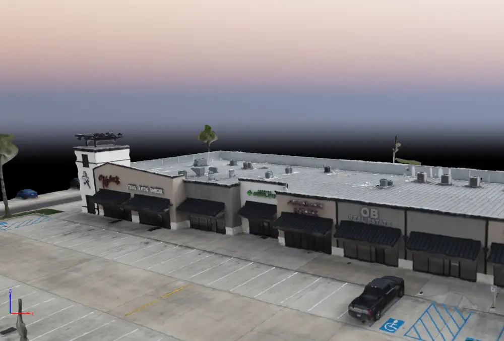
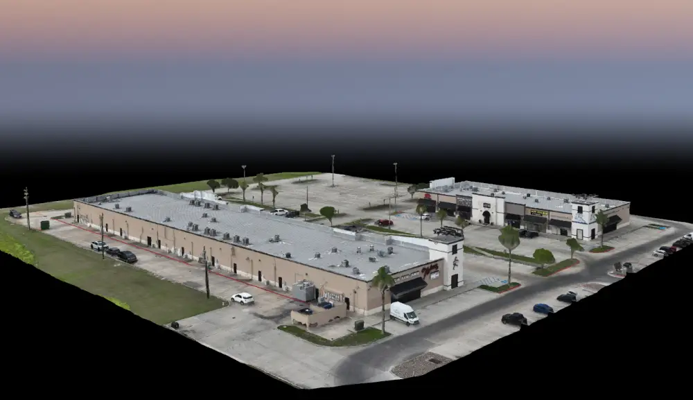
COMMERCIAL REAL ESTATE INDUSTRY
Use cinematic flyovers, 3D models, and stunning aerial photography to make listings stand out and accelerate time-to-close.
Capture site boundaries, elevation, square footage, and overlay property lines with pinpoint accuracy.
Monitor multiple properties at scale with visual updates, site progress tracking, and routine inspections.
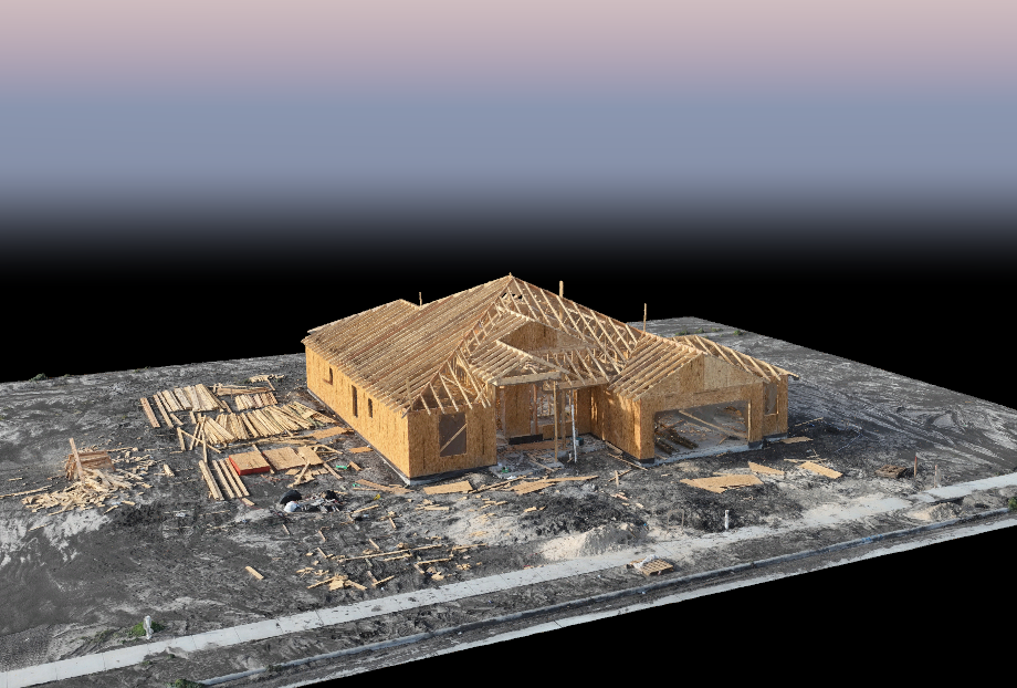
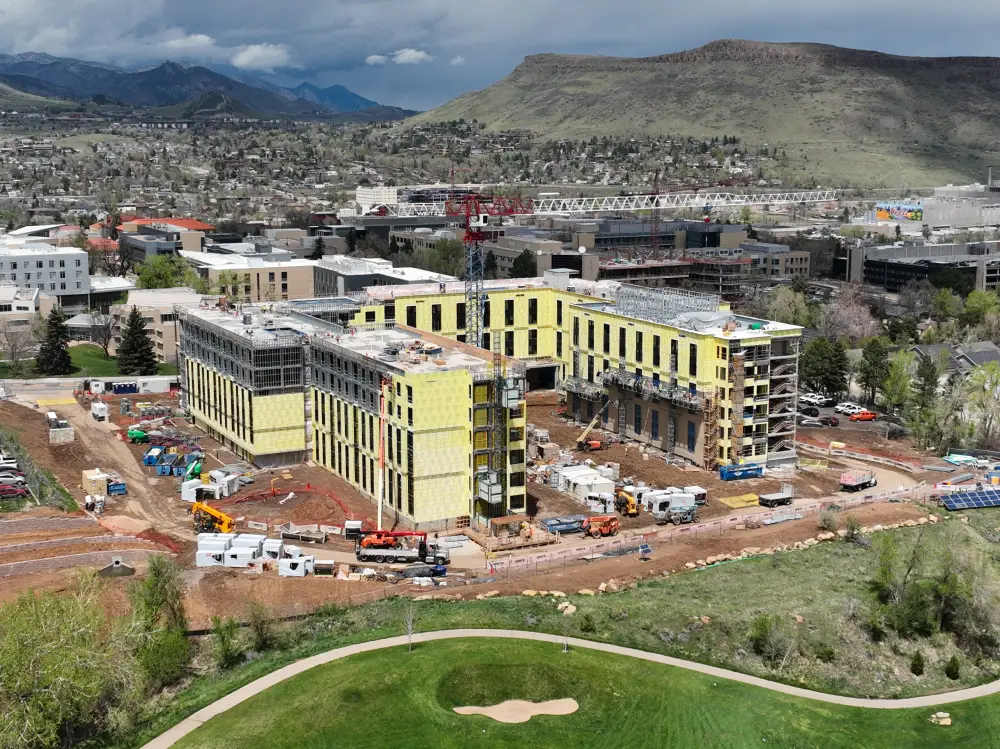
Construction Industry
From Groundbreak to Final Walkthrough Execute With Confidence
Skyline Drone Mapping helps construction teams accelerate site planning, monitor build progress, and improve project oversight. Our drone services deliver ultra-precise topographic maps, real-time visuals, and 3D models streamlining collaboration, improving safety, and eliminating guesswork on job sites across South Texas.
Aerial Mapping Cover more ground in a fraction of the time. We map large-scale sites in under an hour no boots on the ground required.
3D Modeling & Mapping With centimeter-level precision, we generate 3D surface models and elevation profiles that reduce costly errors in grading and foundation layout.
Aerial Photography/Videography Track every stage of your build with consistent, high-resolution visuals. Capture what’s happening when it’s happening.
Mapping & Inspections Generate inspection grade visuals and annotated reports for internal updates, subcontractor alignment, or stakeholder presentations.
Government & Infrastructure Industry
Faster Maps, Safer Teams, Better Outcomes
Skyline Drone Mapping equips local, state, and federal agencies with fast, high‑precision aerial data for transportation projects, critical infrastructure, and emergency response. Our drone mapping, 3‑D modeling, photography, videography, and inspection services reduce field labor, improve on‑site safety, and deliver rapid, actionable insights that accelerate decision‑making.
Detect surface damage, expansion‑joint wear, and flood risks without lane closures or scaffolding.
Deploy drones within hours to capture real‑time visuals that guide first responders, utility crews, and disaster managers.
Create archive‑ready orthomosaics and 3‑D models for permitting, audits, grant reporting, and long‑term planning.
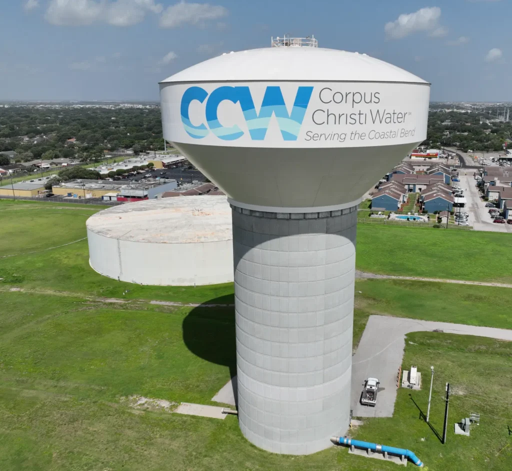
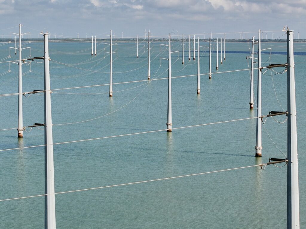
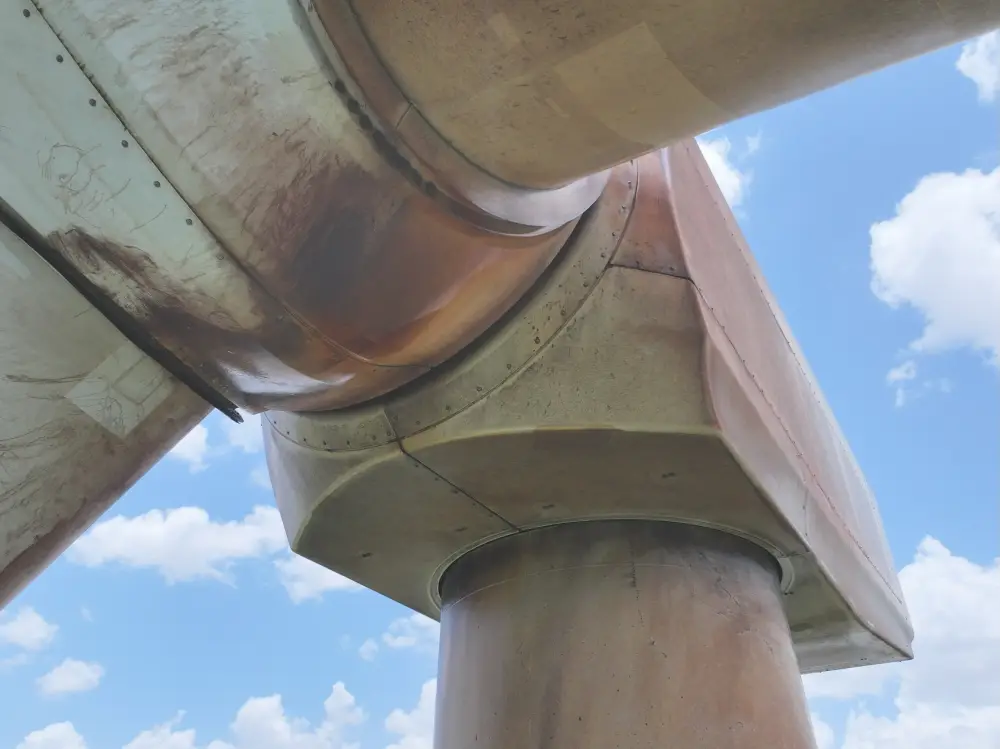
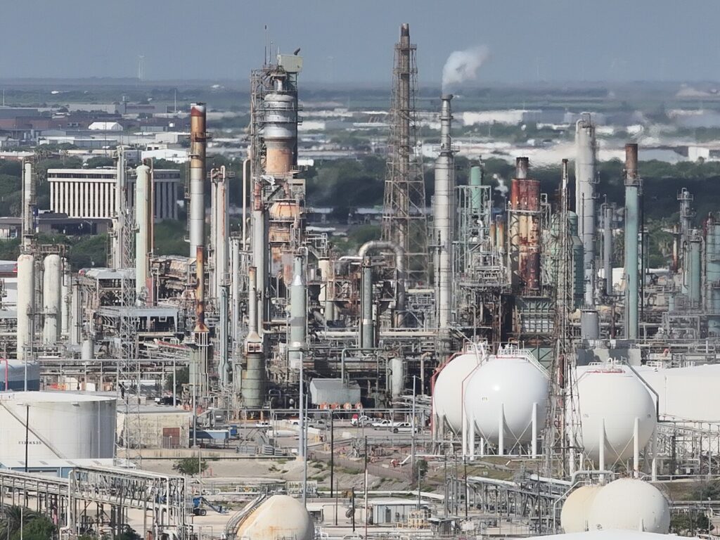
Energy & Utilities Industry
Faster Inspections. Safer Crews. Fewer Outages.
Skyline Drone Mapping empowers energy and utility companies with high-precision aerial data for power lines, substations, solar farms, and pipeline infrastructure. Our drone mapping, modeling, and inspection workflows reduce the need for manual fieldwork, increase safety, and deliver faster, more reliable data for preventative maintenance and asset management.
Power Line & Transmission Monitoring Inspect towers, lines, and insulators without sending crews into hazardous environments—minimizing downtime and boosting safety.
Fire Risk & Vegetation Encroachment Identify vegetation threats and environmental hazards before they impact operations, using high-resolution maps and DSM overlays.
Pipeline & Substation Inspections Safely inspect long stretches of pipeline or remote substations with detailed imagery, 3D models, and orthomosaics all without boots on the ground.
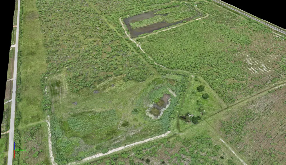
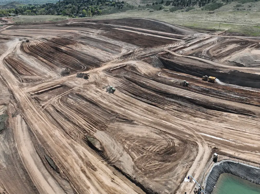
LANDFILLS & EARTHWORKS INDUSTRY
Manage volume, monitor settlement, and document compliance all from above.
Skyline Drone Mapping empowers landfill operators and earthwork crews with rapid, high-precision aerial data—transforming the way sites are measured, monitored, and maintained. From tracking volume changes to detecting erosion and documenting compliance, our drone mapping, 3D modeling, and inspection services eliminate slow, labor-heavy surveys and deliver fast, repeatable, regulator-ready intelligence.
Get fast, centimeter-accurate cut/fill and daily activity measurements no guesswork, no delays.
Use time-lapse elevation models to spot surface changes, sinkage, and potential slope instability early.
Produce consistent, regulator-ready visuals with georeferenced maps tailored for audits and EPA documentation.
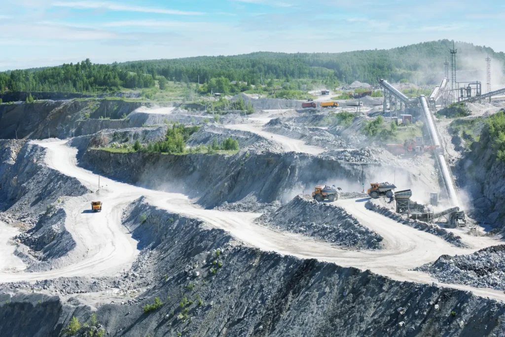
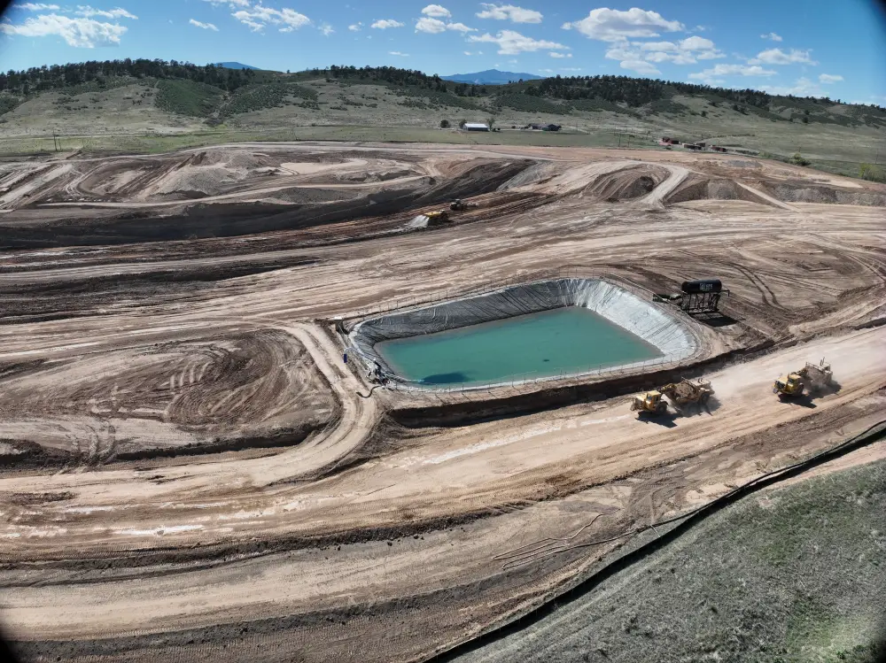
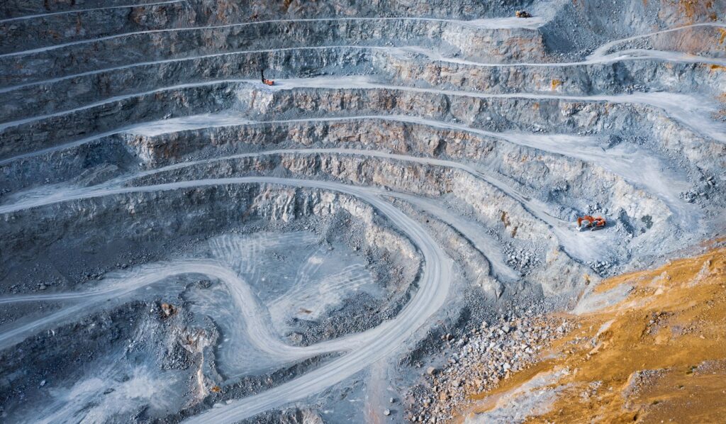
MINING & QUARRYING INDUSTRY
Skyline Drone Mapping revolutionizes mining and quarry operations with high-accuracy aerial data, 3D modeling, and inspections. Our autonomous drone flights capture volumetric measurements, pit wall conditions, and site changes—reducing risk, saving time, and ensuring operational efficiency.
Volume analysis is accurate to within ~1%—completed in minutes instead of hours/days.
Orthomosaics help design haul systems, pit expansion, and bench layout.
Drones access high walls safely—no personnel required in hazardous zones.
We’re not just flying drones we’re delivering results. At Skyline, we replace guesswork with georeferenced intelligence, saving you time, money, and stress. Whether you’re building infrastructure, managing assets, or protecting your land we give you a smarter way to see the big picture.
Cut/fill, contours, volume, and terrain measured to the centimeter. We deliver photorealistic orthomosaics and 3D data with centimeter-grade accuracy. No more manual surveys or rework delays. Just clean, actionable data.
From flight to final files fast. Get real-time visuals, progress tracking, and inspection-ready exports in record time. While traditional survey crews lag, we’re already in post-production.
High-output data. Low-overhead ops. Reduce boots on the ground, cut fuel and labor expenses, and eliminate rework. Skyline streamlines your workflow while boosting quality and ROI.
Keep your team out of hazardous zones. We fly where it’s unsafe to walk landfills, slopes, structures, and active job sites. Our drones collect the data, your team stays protected.
Contact
© All Rights Reserved. Powered by Building Brands Marketing.