We provide fast, accurate, and reliable drone mapping solutions to help you make smarter, data-driven decisions. Revolutionize your workflow with cutting-edge technology and precision you can trust.
Skyline Drone Mapping
At Skyline Drone Mapping, we specialize in revolutionizing how industries approach data collection. Using high-precision drones, we provide fast, accurate, and actionable mapping solutions that take the guesswork out of your projects. We replace outdated, time-consuming methods with cutting-edge technology designed to optimize your workflow, reduce errors, and streamline decision-making.
Our team of experts delivers industry-leading data, giving you the insights you need faster and more accurately than ever before. With a laser focus on precision, speed, and cost-effectiveness, Skyline Drone Mapping helps you stay ahead of the competition, keep projects on track, and ensure smarter, data-driven decisions.
Cut/fill, contours, volume, and terrain measured to the centimeter. We deliver photorealistic orthomosaics and 3D data with centimeter-grade accuracy. No more manual surveys or rework delays. Just clean, actionable data.
From flight to final files fast. Get real-time visuals, progress tracking, and inspection-ready exports in record time. While traditional survey crews lag, we’re already in post-production.
High-output data. Low-overhead ops. Reduce boots on the ground, cut fuel and labor expenses, and eliminate rework. Skyline streamlines your workflow while boosting quality and ROI.
Keep your team out of hazardous zones. We fly where it’s unsafe to walk landfills, slopes, structures, and active job sites. Our drones collect the data, your team stays protected.
Our Mission
At Skyline Drone Mapping, our mission is simple:
Empower industries to operate smarter, safer, and faster using cutting-edge drone mapping technology.
Success in today’s world is about more than data it’s about decisions powered by precision.
That’s why we deliver:
• Accuracy you can trust
• Insights that drive decisions
• Results that stand up to scrutiny
Every project we take on is executed with purpose, speed, and grit. From flight planning to final delivery, Skyline brings elite-level execution to every mission.
We don’t just fly drones we deliver outcomes.
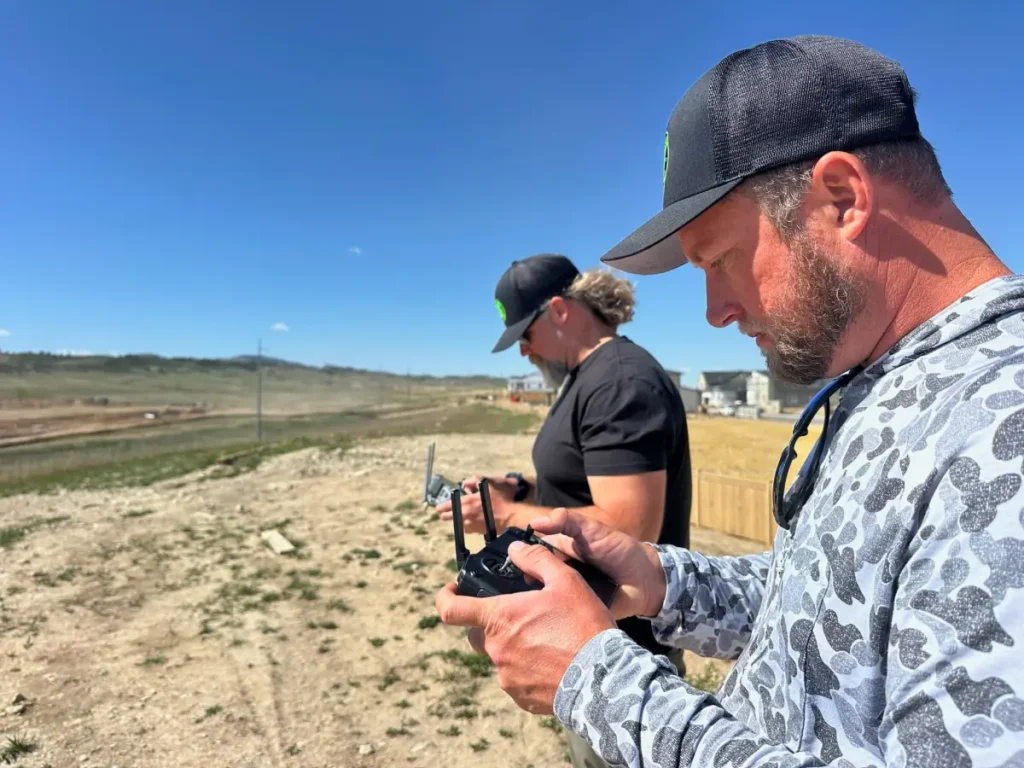
Our Team
Though we’re a small team, we pack a powerful punch. As a two-person operation, our tight-knit team is dedicated to delivering results that exceed expectations. We bring years of expertise and a passion for innovation to every project, ensuring that your data collection process is smooth, precise, and efficient. When you work with Skyline, you’re not just another client you’re a partner.
Contact
© All Rights Reserved. Powered by Building Brands Marketing.
